ROME URBAN HEAT MAPPING BY BUS (ISAC-CNR and ATAC project)
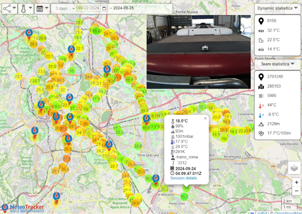
Buses of the public transportation system as mobile weather stations. This is the approach adopted by ISAC-CNR and ATAC to get an unprecedented ultra-high resolution mapping of the Rome micrometeorology.
Started on July 19th 2024, in about 60 days a dataset of more than 2.7 millions weatherpoints (a weatherpoint is a set of 10 weather parameters, geo-tagged and real-time sent to the cloud) has been created, with a rate of several tens of thousands a day.
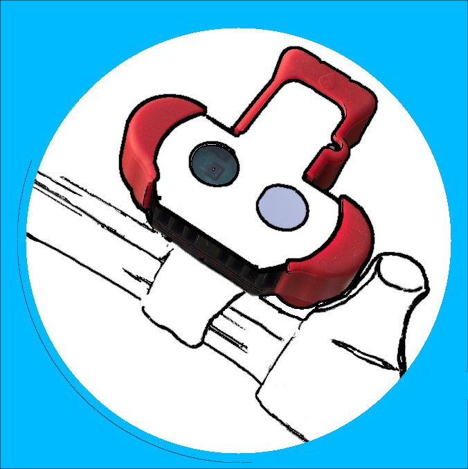
A MeteoTracker X standalone unit – BT paired with a small model installed in the cabin – has been placed on the rooftop of 20 buses. When a trip starts, the data collection starts automatically and it is closed when a stop longer than 5 minutes is detected. A software feature guarantees data integrity, stopping the acquisition when the vehicle speed is zero and a temperature variation greater than 0.5 °C is detected.
A set of data services operates in the background, allowing for in-depth analysis and statistic elaborations. Also, 13 Virtual Fixed Stations have been set in order to get time-series data in locations of special interest (data comparison with data official fixed weather station, etc…).
It is the first project of this kind worldwide. LEARN MORE
LIVE ROME METEOTRACKER INTERACTIVE MAP
I-CHANGE
Citizen Actions on Climate Change and Environment
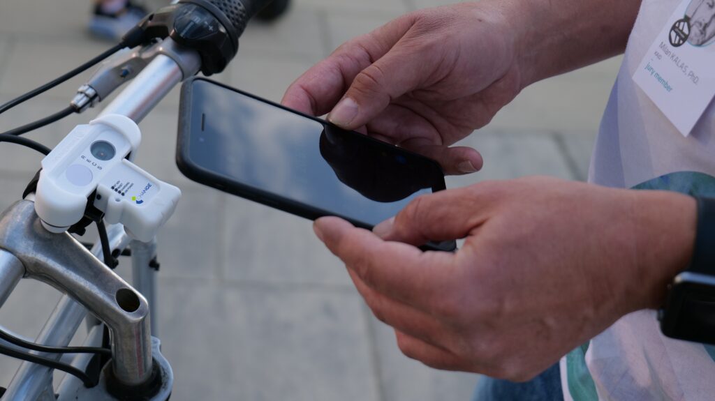
More than 150 MeteoTracker units are being used in nine metropolitan areas within the I-CHANGE project: Amsterdam, Genova, Bologna, Barcelona, Dublin, Hasselt, Jerusalem and Ouagadougou
I-CHANGE is an Innovation Action project which has started in November 2021 and is running for 3,5 years.
The main aim is to show that behavioural change of single citizens is possible through citizen science initiatives which are using sensors and that this has an impact of their environmental footprint.
MeteoTracker has been selected as the primary tool for massive, high-accuracy weather data collection deploying the “vehicle as mobile sensor” paradigm.
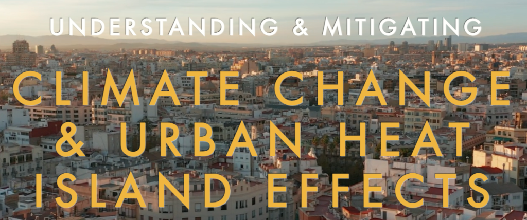
CityClim

In the CityClim project, MeteoTracker is being deployed as a ground-truth data source, mounted on service vehicles (MeteoTracker standalone), on bikes and other vehicles. More than 60 units are in the field, collecting a massive amount of weatherpoints.
CityCLIM is EU funded project that aims at developing an Open Platform and an Advanced Urban Weather Forecasting Tool to run a high-resolution (100 m x 100 m) meteorological model for diverse cities in Europe, using various sources of input data, such as, in-situ measurements, airborne and satellite data.
Climate change has significant influence upon the human life in cities, such as habitability, quality of life etc. Urban modelling typically addresses adverse effects on human life, such as extended heat or air pollution. For example, acquiring knowledge about the development and distribution of heat stress across different parts of an urban area (city centre, residential & business areas, industrial sites, roads/rail, parks etc.) can prove vital for urban planning in regard to climate change, but also for individual every day decisions.
- Koedel, U. (2024). Becoming a CityCLIM Citizen Scientist: A Comprehensive Guide. Zenodo. https://doi.org/10.5281/zenodo.10450393
- Miriam, Kachelmann. Towards a Green Future with CityCLIM: A Handbook for Interested Cities (2024) – Manual 1 – Towards a Green Future with CityCLIM – A Handbook for Interested Cities_Z.pdf
Meteorologie hautnah
The entire project has been carried our deploying about 40 MeteoTracker units in the Leipzig area.
The project “Meteorology up close” is, on the one hand, about recording weather data on the Leipzig city climate (temperature, humidity and pressure) with Leipzig commuters in the summer of 2022 and, on the other hand, about introducing the participants to the scientific working method in interactive workshops.
Urban Heat Watch – Greece
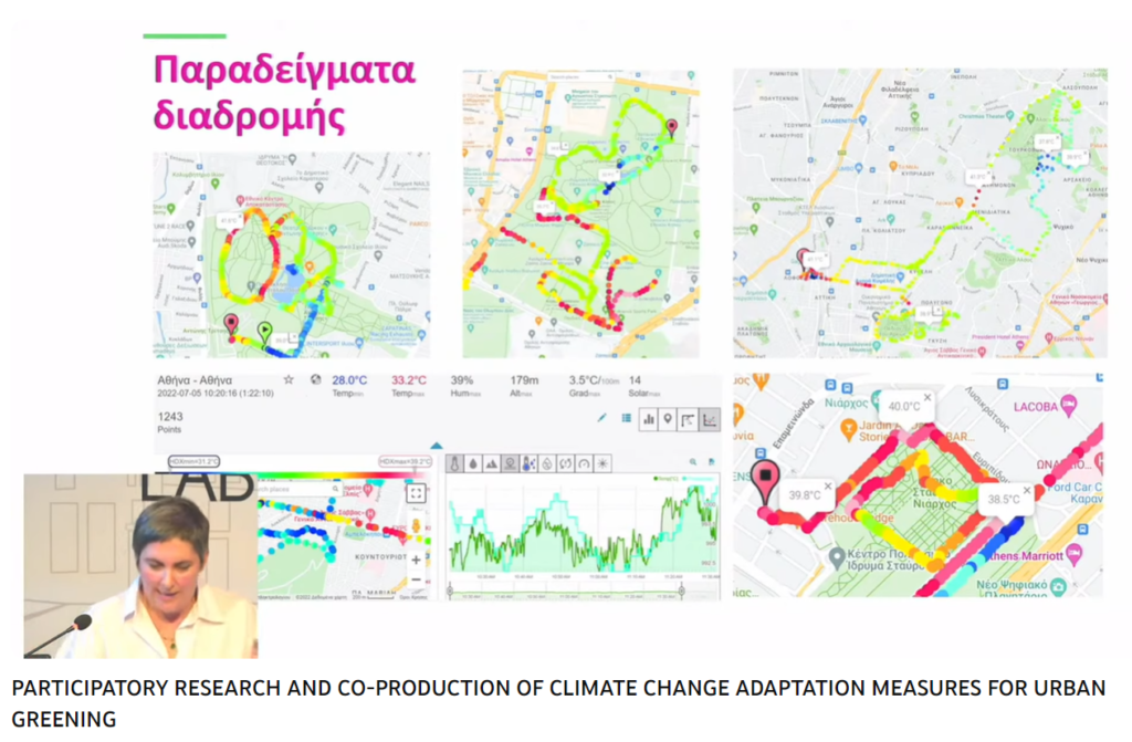
MeteoTracker has been selected as the tool for performing the campaign of measurements and 40 units are being deployed in the field withing the Greek project Urban Heat Watch.
The Urban Heat Watch project is being carried out in the Athens area and aim at mapping at a metre-scale the thermal and hygrometric profile of the metropolitan area, both with the smartphone and the standalone version of MeteoTracker.
Citizen Science Ferrara
Citizen Science Ferrara is a project where MeteoTracker is being used not only for meters-scale thermal and hygrometric mapping of the city area but also to compare/correlate satellite generated surface temperature data with 1,5 m height air temperature.
Synchronising MeteoTracker sessions with satellite scanning time allows for the creation of an unprecedented database from which very interesting pattern and correlation can be extracted.